
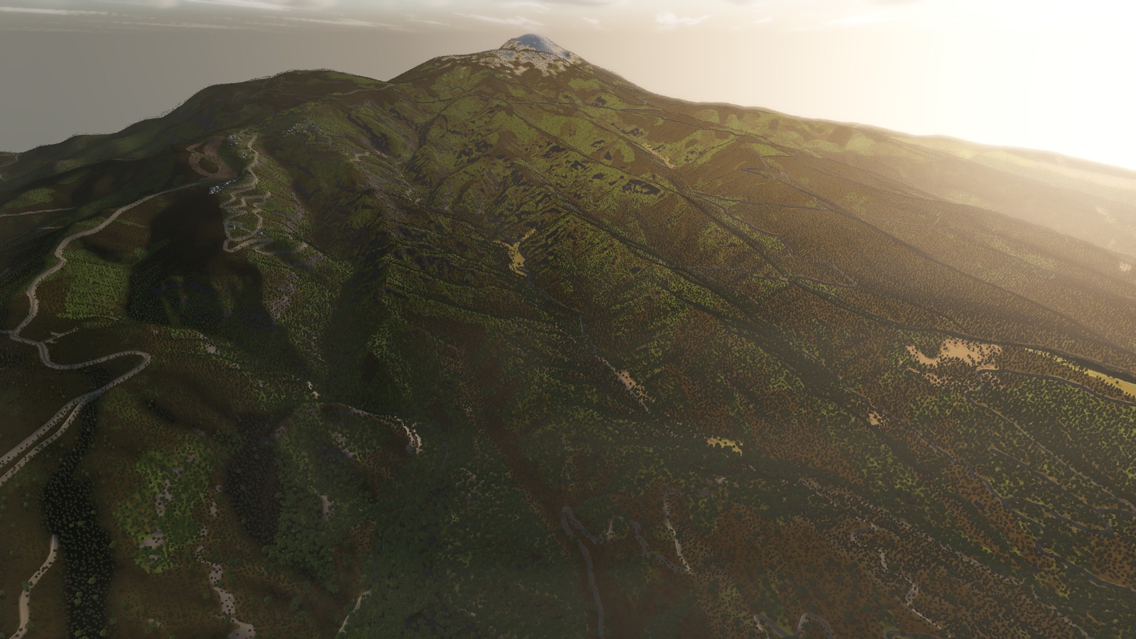
The Northern Japan Alps
Three thousand metres of ridge running north to south, with valleys between them that hold their own weather and their own wind.
AT A GLANCE
- Highest point
- Hotaka-dake, 3,190 m — third highest in Japan
- Runs
- Roughly 100 km north to south, as a wall
- Best season
- Late spring, when snow is still on the ridges and the valleys are green
- Approach
- From the Matsumoto basin in the east, or the Toyama plain in the west
The Northern Alps are the part of Japan that most surprises people who thought they knew what Japan looked like. This is not a landscape of hills. It is a hundred kilometres of continuous three-thousand-metre ridge, snow on it into June, with glacial valleys cut deep enough that the bottom of one is a different climate from the top.
For a balloon it is the most demanding terrain in the country and the most rewarding, for the same reason: the ridge decides everything.
Crossing, or not
A ridge that height does not let you through; it lets you over. Getting above it takes real altitude, and altitude takes fuel, and the wind you find up there may not be the one you wanted. Plenty of journeys arrive at the Alps from the east, look at them, and go around by way of the Sea of Japan coast instead. That is not a failure — it is what the wind offered.
Mountain air is at its most cooperative before the sun has had time to work on the slopes. The same rule that governs real ballooning applies here: the good hours are the early ones, and there are not many of them.
What is down there
The valleys are the reward. Kamikochi, the Azusa river, the long green trough running between walls that go up faster than you can. Villages sit on the only flat ground for kilometres, and the road, the river and the railway all share it because there is nowhere else to go.
Come over the western side and the ground drops away to the Toyama plain and the sea beyond, three thousand metres of it in the space of about twenty kilometres — one of the steepest transitions from alpine to coastal anywhere in the world.
Screenshots are from a build in progress and are not necessarily taken at the place described.
Terrain is built from elevation data published by the Geospatial Information Authority of Japan (GSI).