
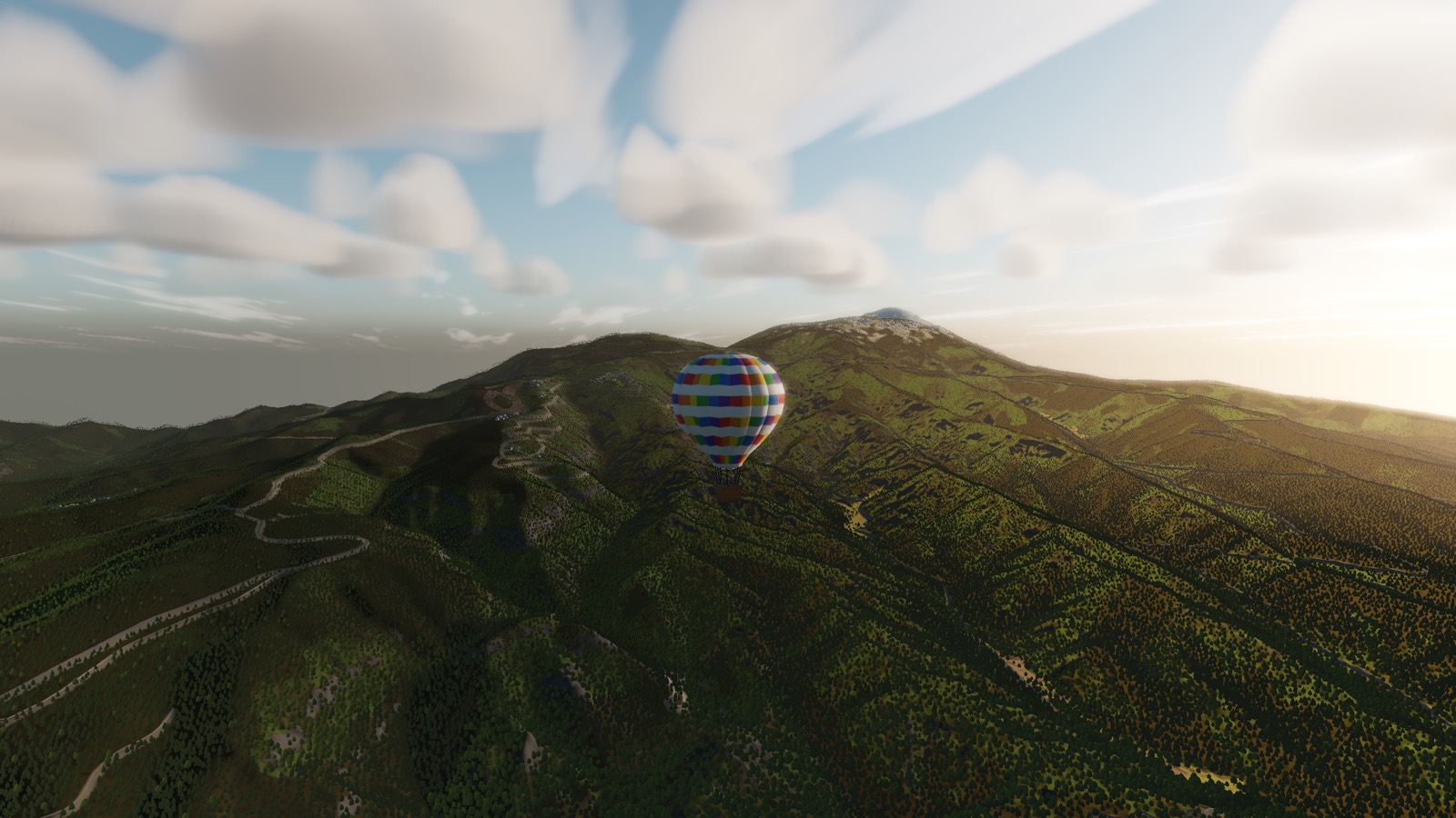
Aso Caldera
A crater twenty-five kilometres wide with towns, rice fields and a railway inside it — and an active volcano in the middle.
AT A GLANCE
- Caldera
- Roughly 25 km north to south, 18 km east to west
- Inside it
- Towns, farmland, roads and a railway line — around 40,000 people live there
- Central cones
- Five peaks, of which Naka-dake is active
- Best season
- Spring, after the grassland burn-off, when the slopes are green
Most calderas are holes. Aso is a country. The rim is a ring of ridge some twenty-five kilometres across, and the floor inside it is not a lake or a wasteland but ordinary Kyushu: paddies, roads, a train line, tens of thousands of people going about their day, all inside the collapsed remains of an eruption.
From the air the scale of it only lands when you cross the rim. The ground drops several hundred metres in one step, and then stays down — and it keeps being down for twenty minutes of flying.
The grassland
The outer slopes are the largest area of open grassland in Japan, kept that way for a thousand years by controlled burning every spring. That gives the caldera something almost nowhere else in the country has from the air: space without forest. Long unbroken curves of green with the ridge line drawn clean across them, and no trees to confuse the shape of the land.
The central cone is genuinely active and its access is restricted on the ground when it is venting. Nothing in the game will stop you flying over it — but the reason there is a bare grey cone in the middle of all that green is worth knowing.
Getting in and out
A caldera rim is a wall from both directions. Arriving from the west you climb over the rim and drop into the bowl; leaving to the east you have to gain it all back. The plain fact is that Aso is easier to enter than to leave, and that a balloon which drifts in on a light wind may spend a while going round inside it.
Which, given what is in there, is not the worst outcome.
Screenshots are from a build in progress and are not necessarily taken at the place described.
Terrain is built from elevation data published by the Geospatial Information Authority of Japan (GSI).